Aerial photography is extensively used in the construction industry for planning, monitoring, and documenting various aspects of construction projects. Here are several ways in which aerial photography is applied in construction:
- Site Selection and Feasibility Studies: Aerial imagery helps construction companies assess potential building sites. By capturing images from above, they can evaluate factors such as topography, access, existing infrastructure, and nearby amenities to determine the feasibility of a project.
- Project Planning: Aerial photography aids in the initial planning stages of construction projects. It allows construction teams to visualize the layout and orientation of structures on the site and make informed decisions regarding placement and design.
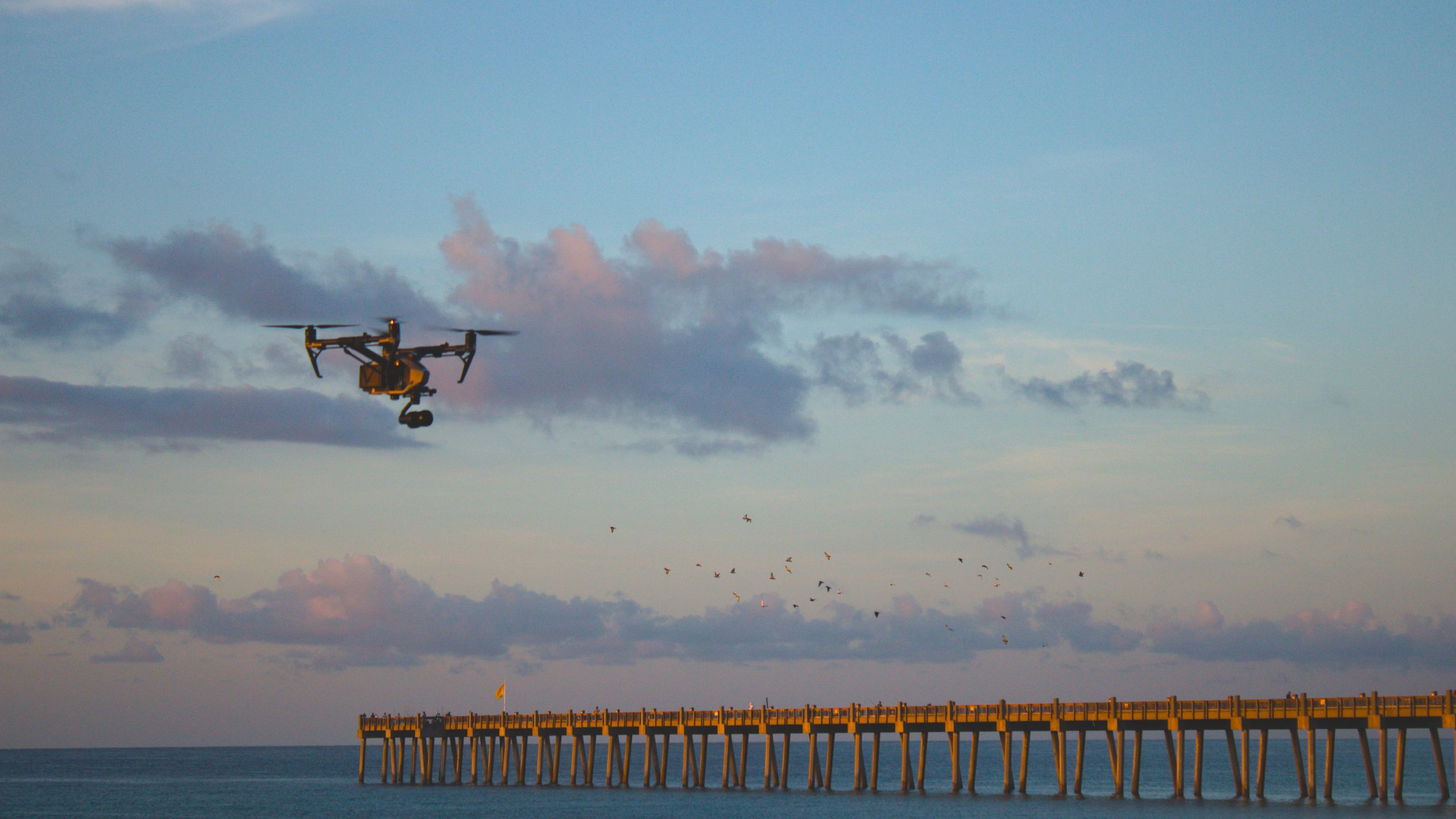
- Surveying and Mapping: Aerial surveys using drones or aircraft can provide high-resolution topographic maps and land surveys. These maps are crucial for creating accurate site models, determining elevation changes, and planning the placement of infrastructure and utilities.
- Progress Monitoring: Construction progress can be monitored through regular aerial photography or drone flights. By comparing images over time, project managers can assess how construction is advancing, identify potential delays or issues, and make necessary adjustments to keep the project on track.
- Resource Management: Aerial imagery can help construction companies manage resources efficiently. For example, it can assist in tracking the stockpiling of materials, managing equipment on the site, and ensuring that resources are allocated effectively.
- Quality Control: Aerial photography is useful for quality control and quality assurance. It allows inspectors to review construction work from an elevated perspective, identifying any issues or defects that might not be apparent from ground-level inspections.
- Safety Inspections: Drones equipped with cameras can perform safety inspections of construction sites. They can capture images of potentially hazardous conditions, allowing safety managers to take corrective actions and ensure a safe working environment.
- Stakeholder Communication: Aerial photography provides a clear visual representation of the project’s progress. Construction companies can use these images to communicate with stakeholders, investors, and clients, helping them understand the current status of the project.
- Marketing and Documentation: Aerial photography produces striking visuals that can be used for marketing purposes and project documentation. High-quality images and videos can be included in project proposals, marketing materials, and reports to showcase completed projects or attract potential clients.
- Environmental Impact Assessment: Aerial photography is valuable for assessing the environmental impact of construction projects. It helps identify potential environmental concerns, such as changes in water flow, erosion, or disruption to local ecosystems.
- Traffic and Access Planning: Aerial imagery can assist in planning traffic flow and access routes to construction sites, ensuring that transportation logistics are optimized and disruptions are minimized.
- Dispute Resolution: In case of disputes or legal issues related to property boundaries or construction progress, aerial photography provides objective evidence that can be used to resolve conflicts.
Overall, aerial photography in construction offers a comprehensive, detailed, and efficient way to manage, monitor, and document various aspects of construction projects, ultimately contributing to better project outcomes, cost savings, and improved safety and communication.
No responses yet